Olathe, Kansas- Parks & Trails Wayfinding System
INTRODUCTION
The Parks Department of Olathe, Kansas wanted to implement a new, cohesive wayfinding system for their large catalog of parks and greenbelts throughout the city.

Current wayfindfing system.
Research & analysis
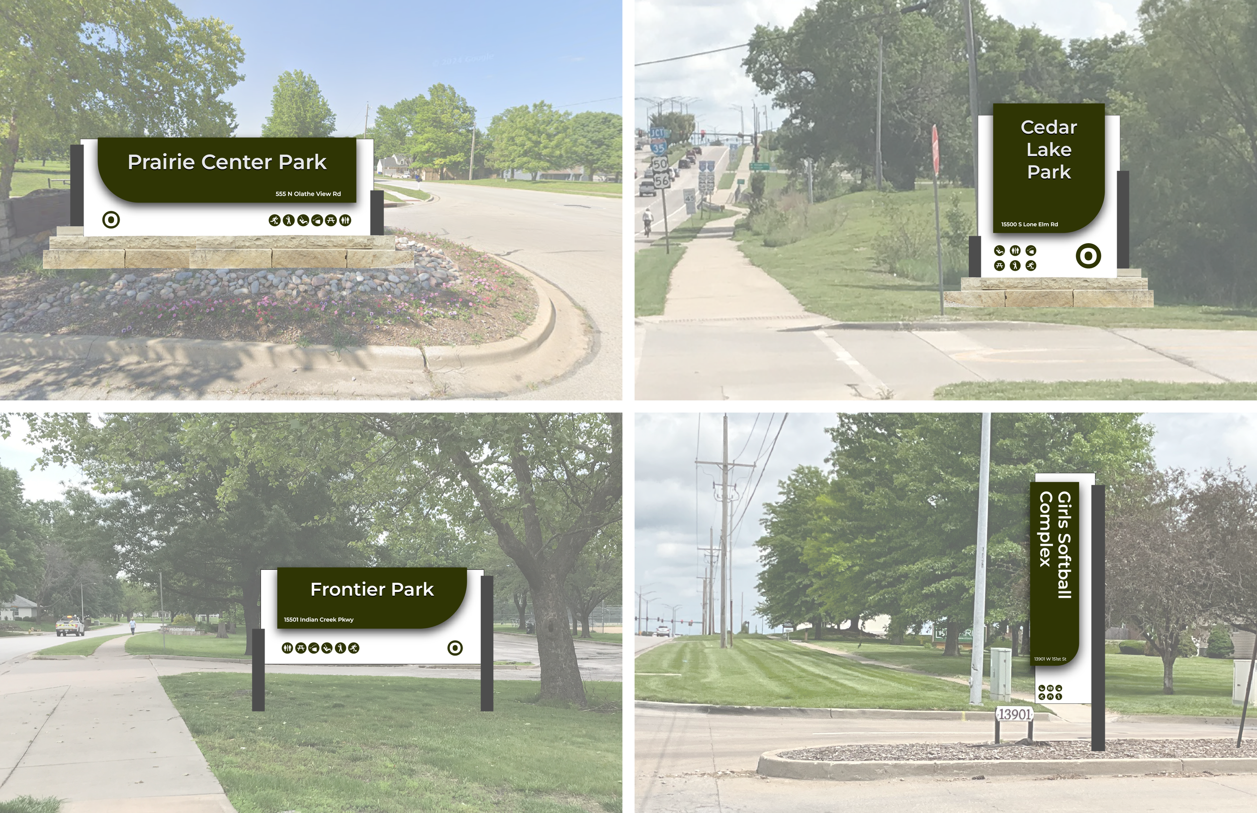
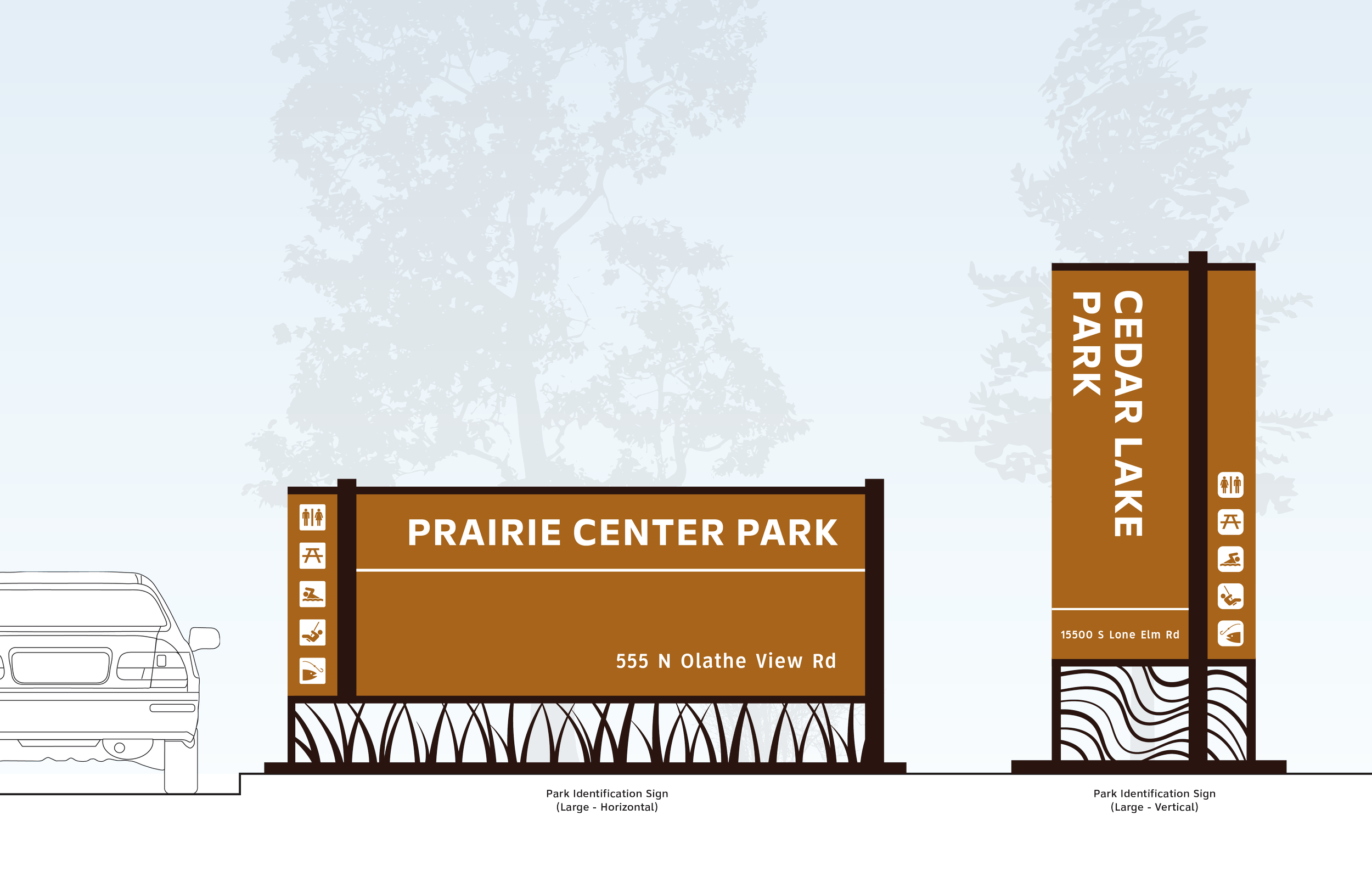
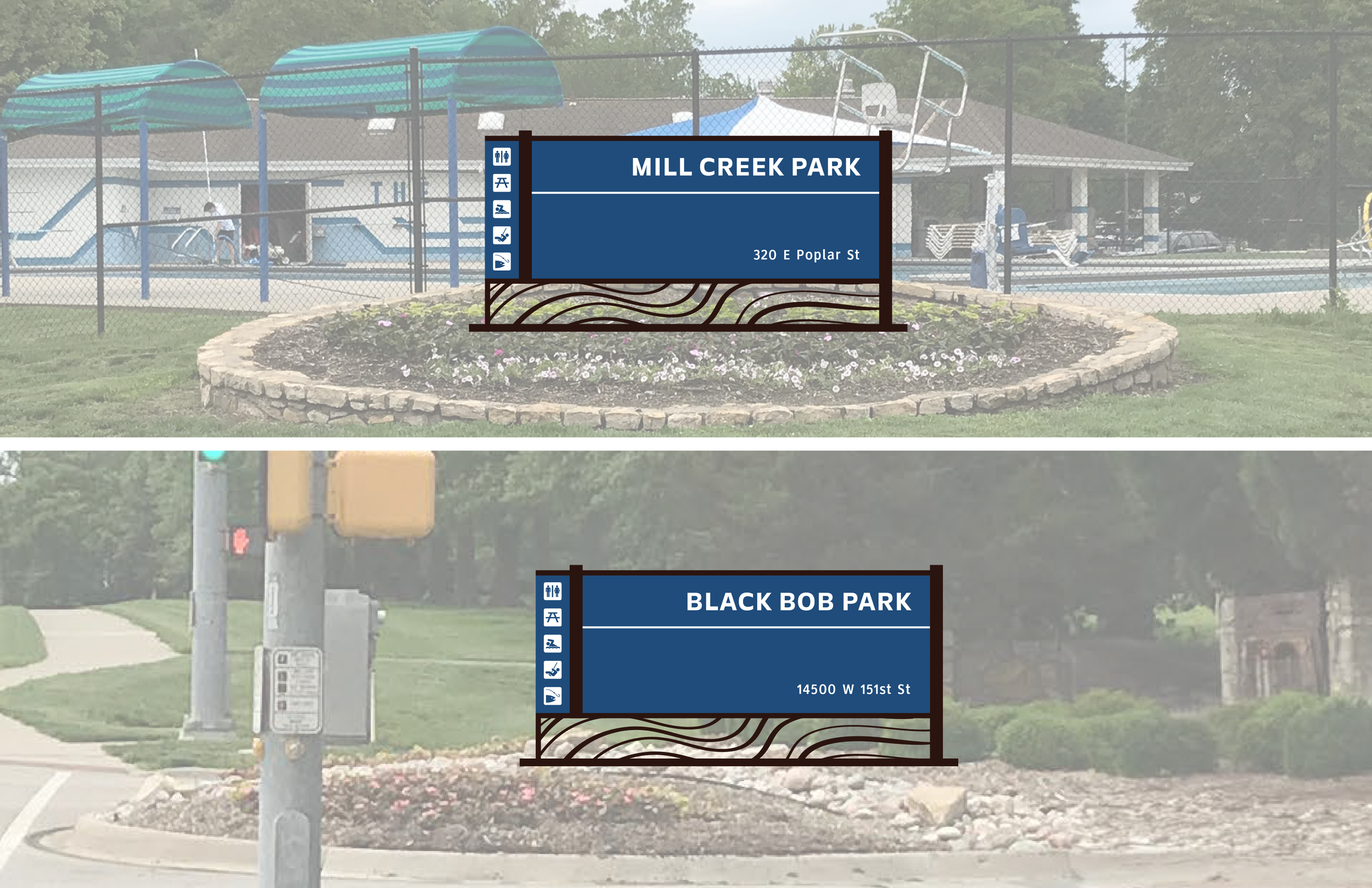
My team did extensive on-site surveys, research on the surrounding environment and the city of Olathe, assessed the needs and wants of the client in order to come up with a full pack of concepts. Below are the two concepts (which includes a sign family, scenes and 3D renderings) that I created which were presented to the stakeholder committee.